 Translate
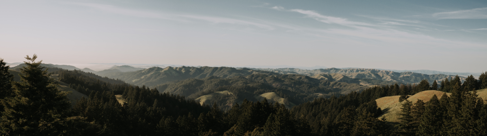
The Mount Tamalpais Watershed, one of California’s most valuable natural resources, is the source of a majority of the water produced for central and southern Marin County residents. The topography of the watershed is characterized by open, low rolling hills in the lower watershed and rugged canyons in the upper watershed. The 18,000-acre swath of wilderness is able to collect millions of gallons of rainwater thanks to its unique topography. Mt. Tam itself drastically affects weather, forcing warm air upward, over its rising terrain where it is cooled, prompting precipitation on the mountain and in its shadow.
Pristine Reservoirs
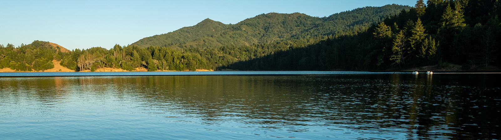
Five of Marin Water’s seven reservoirs are situated on the Mt. Tam Watershed, and they collect millions of gallons of this precipitation before that water is carried to treatment plants, and through hundreds of miles of pipeline before arriving at customers’ taps. Beginning on the north slope of Mt. Tam, the Lagunitas Creek feeds into Marin Water’s reservoirs and serves as prime coho salmon, steelhead trout and California freshwater shrimp habitat. Water quality is maintained by keeping the Mt. Tam Watershed lands in a natural condition, and limiting use by people to activities that have the least impact on the watershed. Marin Water carefully stewards all of its reservoir land to limit the impact on downstream habitats.
Additional resources:
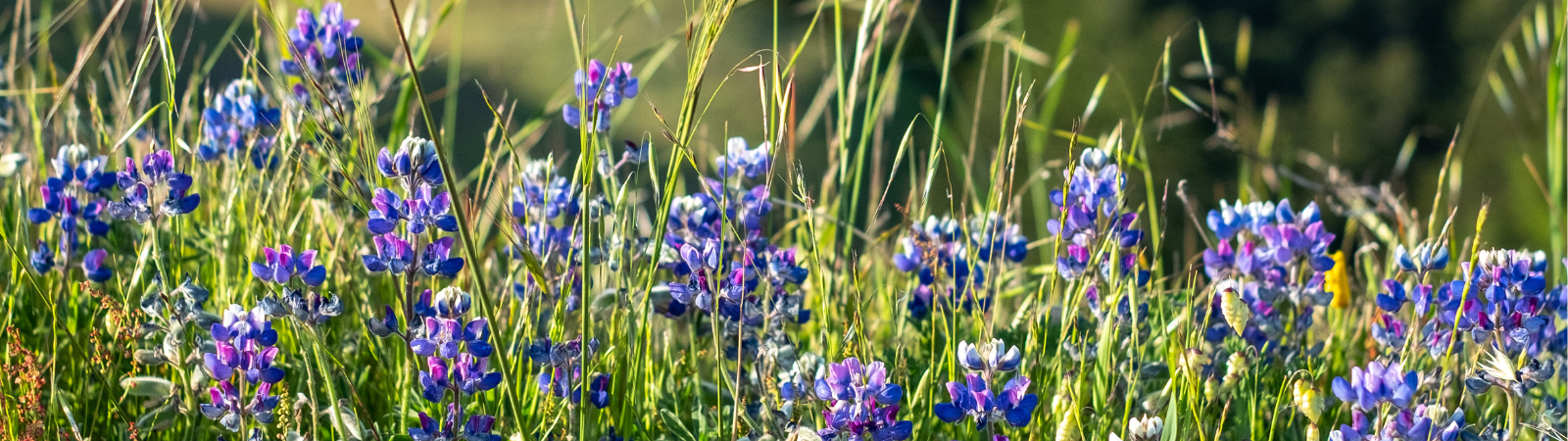
Diverse Ecology
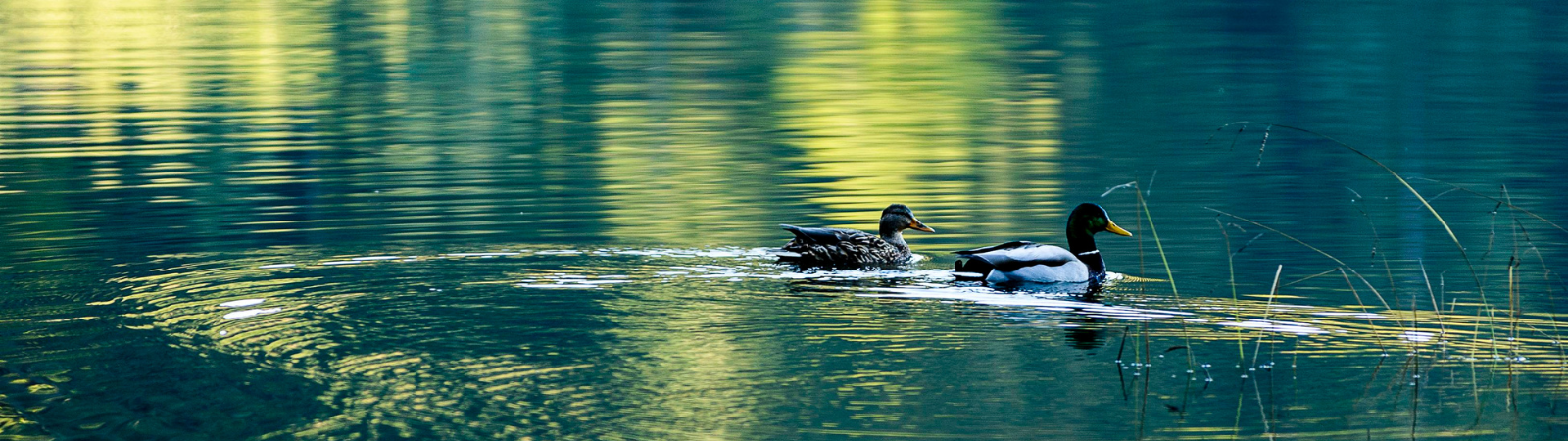
The Mt. Tam Watershed is home to more than 1,000 species of plants and 400 species of wildlife. Among them, a host of rare, threatened and endangered species. Marin Water is committed to sustaining the ecological health and biological diversity of the watershed, with programs to monitor wildlife such as the northern spotted owl, osprey, the yellow-legged frog and the western pond turtle. Staff on the watershed also monitor and map rare plants, while also working to keep invasive plant species at bay to protect natural ecology and reduce the risk of catastrophic wildfire which can be fed by unchecked fuels. Along with the land-dwelling species, Mt. Tam is teeming with aquatic life, including the largest remaining population of Central California Coast coho salmon. Marin Water works closely with other downstream land management agencies to monitor fisheries and restore habitats. The District also works to preserve and protect the Watershed through volunteer and educational programs, as well as partnerships such as One Tam — a coalition of agencies working to preserve and protect Mt. Tamalpais that includes Marin Water, the National Park Service, California State Parks, Marin County Parks, and Golden Gate National Parks Conservancy.
Additional resources:
Room to Explore
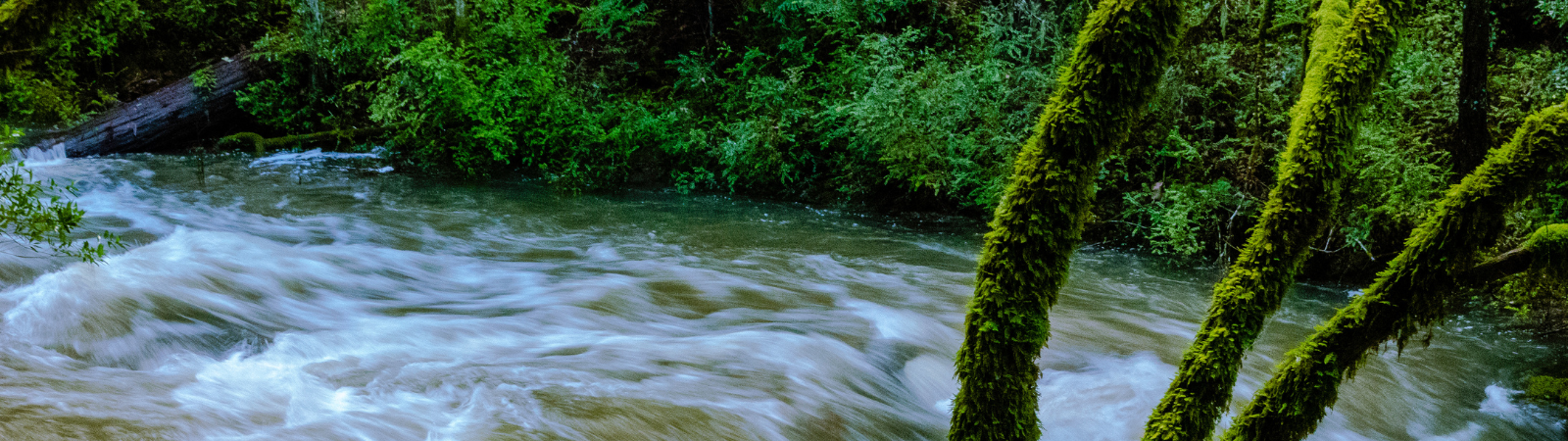
Oftentimes, seeing is believing. Visitor access to the watershed provides opportunity for the community to take in this incredible natural resource and see firsthand how the District’s local water is sourced and protected for customers. The Mt. Tam Watershed includes reservoirs, waterfalls, redwood groves and a vast network of beautiful hiking trails – 150 miles in total! Visitors may hike, walk, bike and ride horses while taking it all in. Just remember: No swimming or wading in the lakes, please.
Additional resources: