Translate
- Apr. 16, 2024 @ 6:30 p.m. - Board of Directors Regular Meeting
Agenda Item 9a: Watershed Recreation Management Plan Feasibility Study
Watch meeting recording and view documents - Mar. 21, 2024 @ 9:30 a.m. - Watershed Committee Meeting
Agenda Item 4c: Watershed Recreation Management Plan Feasibility Study - Strategic Opportunities
Watch meeting recording and view documents - Feb. 29, 2024 @ 6 p.m. - Watershed Committee Meeting
Agenda Item 3a: Watershed Recreation Management Planning Feasibility Study
Watch meeting recording and view documents - Jun. 15, 2023 @ 1:30 p.m. - Watershed Committee Meeting
Agenda Item 2: Watershed Recreation Management Planning Update
Watch meeting recording and view documents - Apr. 12, 2023 @ 5 p.m. - Community Workshop #6
Watershed Recreation Management Plan outcomes and public input
Watch workshop recording - Feb. 8, 2023 @ 5 p.m. - Community Workshop #5
Watershed census survey data, best management practices and adaptive management
Watch workshop recording - Nov. 9, 2022 @ 2 p.m. - Watershed Site Visit #2
Roads, trails and Azalea Hill Project
View documents - Oct. 12, 2022 @ 5 p.m. - Community Workshop #4
Watershed facilities, visitor management, and public input
Watch workshop recording Part 1
Watch workshop recording Part 2 - Sept. 14, 2022 @ 5 p.m. - Community Workshop #3
Stewardship, partnership and outreach programs, and public input
View documents - Ongoing August to October 2022
Watershed Data Collection Survey (in-person and online survey collection) - Jul. 13, 2022 @ 5 p.m. - Community Workshop #2
Watershed census survey update, data collection process, and public input
Watch workshop recording - Jul. 6, 2022 @ 2 p.m. - Watershed Site Visit #1
Ranger and naturalist hike
View documents - Jun. 8, 2022 @ 5 p.m. - Community Workshop #1
Introduction to project, review of scope of work, objectives, and public input
Watch workshop recording
On April 16, 2024, the Marin Water Board of Directors approved the Watershed Recreation Management Planning Feasibility Study. The study informs multi-benefit outcomes that can be advanced to help protect the unique goals of different watershed visitors and the biodiversity of the District's lands. As part of the study, a number of strategic opportunities were identified which are focused around the following key areas: stewardship; visitor outreach services; watershed facilities, policies and plans; and adaptive management. The District will be exploring a range of actions within each of these opportunity areas over time, as feasible. Updates on such efforts will be provided on this page.
Current Efforts on Strategic Opportunities
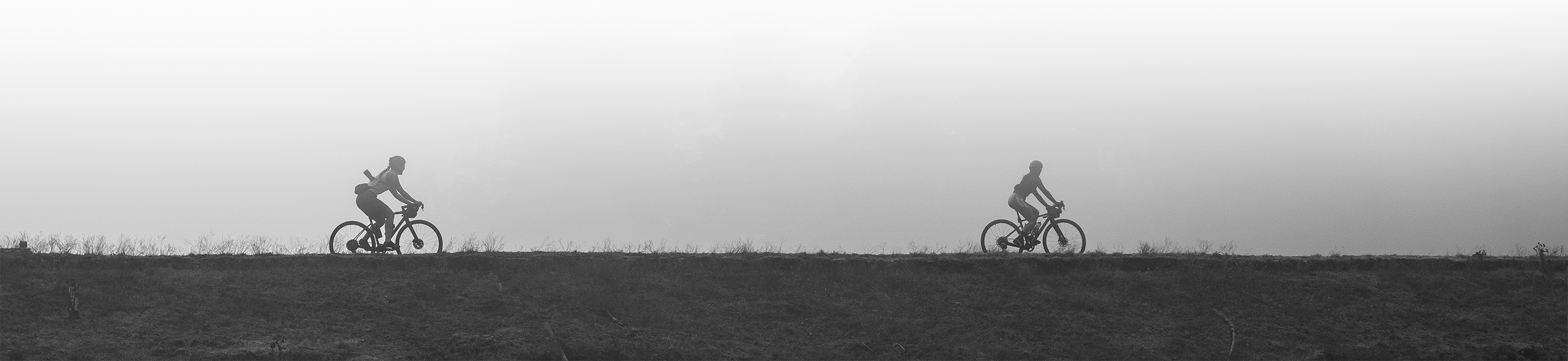
E-Bike Class I Pilot Program
Go to the pilot program webpage for details
For more information on the status of this program and the trail-sharing pilot, read Marin Water's May 5, 2025 statement and May 7, 2025 news release.
------
Get notified! Subscribe here to receive email notifications and updates about the Recreation Management Plan process. By subscribing you will also receive Marin Water’s monthly e-news update containing information about water- and money-saving customer resources and rebates, the Mt. Tam Watershed, water supply and more. |
About the Watershed Recreation Management
Planning Feasibility Study
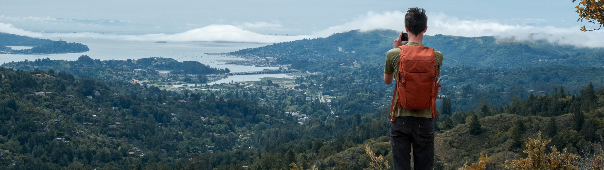
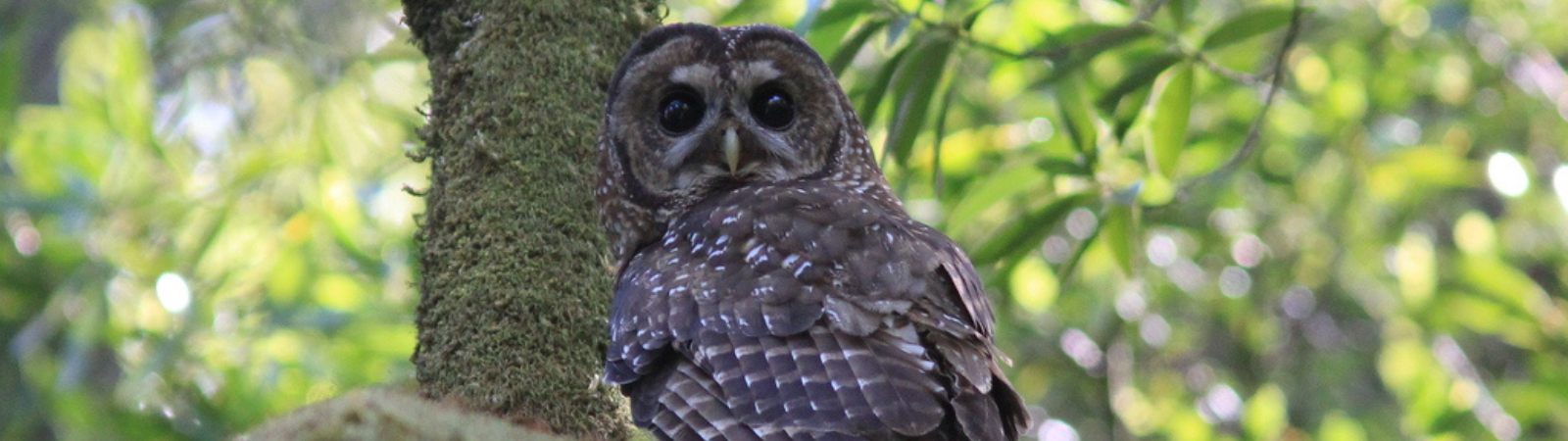
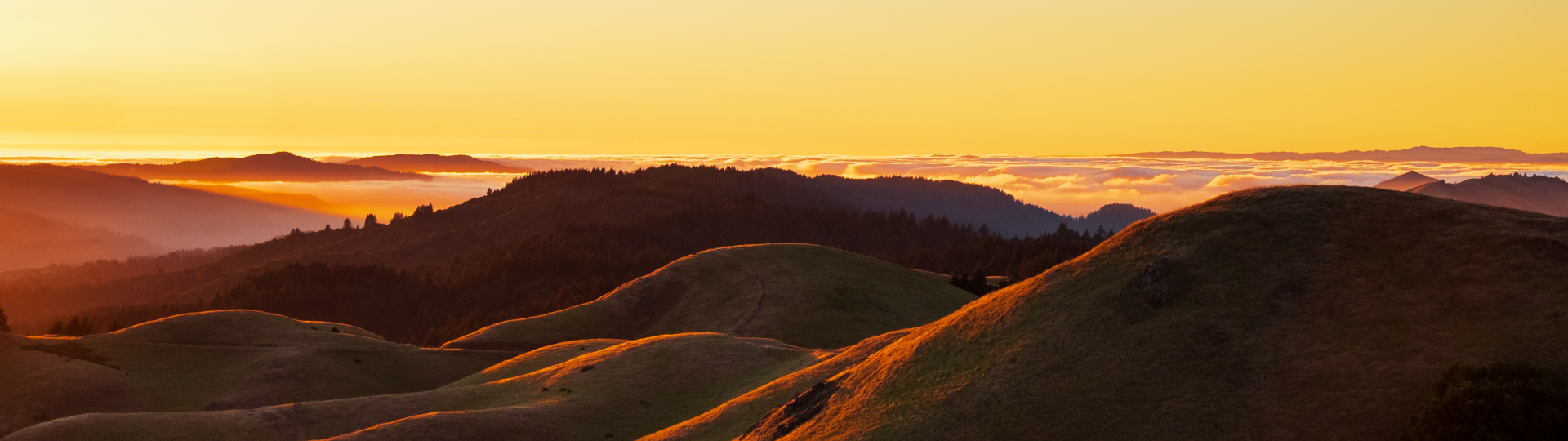
Mt. Tamalpais and its adjacent watersheds support a rich array of plants and animals, panoramic vistas, and recreational opportunities that are treasured by residents and visitors alike. Marin Water began stewarding the 22,000 acres of watershed lands over 100 years ago, with a mission to provide the community with “reliable, high-quality water” and to sustainably manage the Mt. Tamalpais Watershed to protect water quality and biodiversity. The Mt. Tamalpais watershed makes up a portion of the Golden Gate Biosphere Reserve (UNESCO 2002) which supports a highly diverse complex of terrestrial, coastal, and marine environments spanning 82,000 acres.
Since before the turn of the last century, Mt. Tamalpais has been a magnet for recreationists. Watershed visitors include anglers, hikers, equestrians, nature viewers, runners, walkers, youth camps, cyclists and many more. In an effort to support the diverse range of visitors coming to the watershed and to help protect water quality and natural resource, Marin Water implemented a recreation management planning feasibility study.
Watershed Recreation Management Planning Feasibility Study (approved April 2024)This report was prepared by Alta Planning + Design, Inc., with review by Marin Water staff. |
Background Information on Community Engagement Process
The Feasibility Study was developed through a robust public engagement process, including workshops, meetings, visitor surveys, literature reviews, site visits and data analysis, and will be an important part of Marin Water's ongoing adaptive management of the Mount Tamalpais Watershed — where the District sources the majority of its water. The overall planning effort incorporated community feedback and lessons from other water districts, parks and open spaces beyond the District's watershed boundaries.
Related Documents and Resources
- Visitor Census Data Analysis (June 2023)
- Roads and Trails Management Plan
- Roads and Trails Management Plan Enviornmental Impact Report
- E-bike Citizen Advisory Committee
- Biodiversity Fires, and Fuels Integrated Plan
- Board Policy 7 Watershed Management
- Watershed Recreation Plan Initial Scoping Phase Summary Memo