
Visitor Information


The Mount Tamalpais Watershed, serving as central and southern Marin’s primary water source, is a thriving ecosystem featuring reservoirs, streams, waterfalls, redwood groves, native plants and wildlife. It also offers an awe-inspiring network of roughly 150 miles of trails and roads for exploration. Marin Water takes great pride in our role as stewards, dedicated to protecting these 22,000 acres of watershed land. We welcome visitors to enjoy and connect with the watershed, home of Marin’s drinking water.

Know Before You Go

VISITOR NOTICES:
 
Road/Trail Closures
  • The Upper Yolanda Trail is closed between Worn Springs Fire Road and the Six Points Trail intersection due to hazardous conditions resulting from the early February storms. Marin Water staff plan to repair the trail section this spring once conditions dry out. 
  • The west end of West Peak on Mt. Tam, including the Arturo Trail and Mountain Top Trail, is closed until further notice due to hazardous conditions resulting from several damaged and fallen power poles around the Mill Valley Air Force Station area after recent wind events. All impacted lines are de-energized. PG&E and Marin Water crews are working to address the hazards and restore trail access.
Limited Land Use Permitting during Pine Mountain Tanks Construction Project

During scheduled active construction months for the Pine Mountain Tanks Project on the Mt. Tam Watershed, watershed reservations will continue to be permitted for use of the Lake Lagunitas picnic grounds, though visitors should expect traffic delays. The issuance of Land Use Permits for other locations on the watershed will be limited to areas that do not interfere with construction activity and will be considered on a case by case basis. Active construction months include Aug 2023-Jan 2024 and Aug 2024-Jan 2025.

Information Line for Road Closures and Planned Wildfire Mitigation Burn Activity

415.945.1195

The Mt. Tam Watershed is open daily from 7 a.m. to sunset. During extreme fire conditions, such as Red Flag Warnings, the watershed will be closed to vehicle traffic for public safety.

Everyone is welcome, and we ask that you respect the watershed and respect each other. Learn more about how we can share the watershed by watching this Slow and Say Hello video.

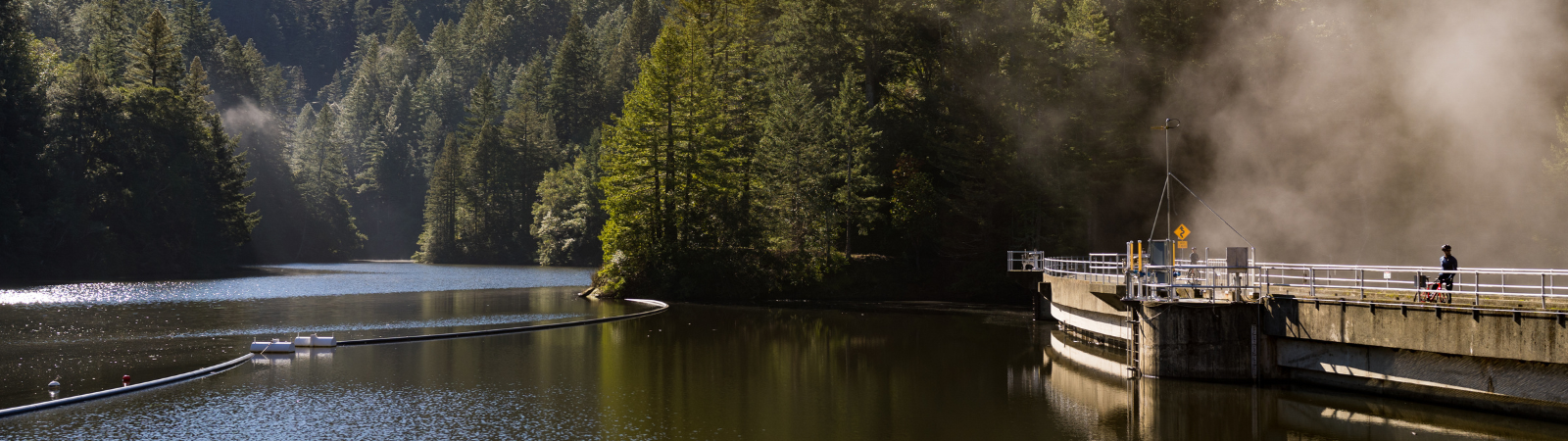
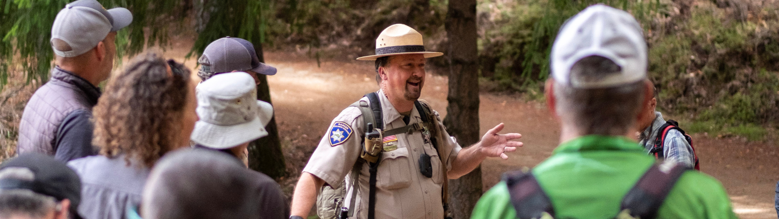
Before visiting the watershed, plan your trip in advance.

Visitor Maps

Driving Directions to Watershed Points of Interest

Parking

A vehicle parking fee is required when entering the watershed at Sky Oaks Watershed Headquarters, except for vehicles with a disability placard.

Permits and Picnic Reservations

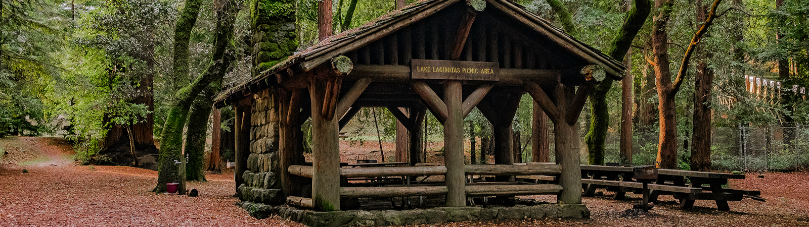
Permits are required for commercial filming, photography, group activities with more than 20 participants, commercial groups, and scientific research activities. A permit is also required to reserve a picnic site. There are two sites available for reservation at the Lake Lagunitas Picnic Grounds – the group area (up to 75) or the shelter area (up to 25).

Safety Tips

       Plan your route in advance and be sure to check for any restrictions or guidelines in place
       Wear sunscreen, protective attire, and appropriate footwear
       Bring enough water for yourself and your dog or horse
       To avoid ticks, stay in the middle of trails, use insect repellant, and tuck pants into your socks. Do a tick-check after recreating outdoors.
       Look where you’re stepping to maintain distance from snakes or other wildlife
       Keep away from poison oak, recognized by its shiny, three-leaf pattern
       Be courteous and pass others with caution. Uphill traffic has the right of way.
       Stay home if you’re sick
       Cell connectivity may be limited. Tell a responsible person where you are going and when you plan to return.

The Mt. Tam Watershed offers unique recreational opportunities including hiking, biking, horseback riding, picnicking, and fishing. With over 150 miles of trails and unpaved roads for hiking and 90 miles of fire roads for cycling, there is an abundance of natural beauty to appreciate and explore.

Rules

  • No boating or swimming in any Marin Water reservoir or stream
  • Dogs are welcome on the watershed but must be leashed and under the control of the owner at all times. For the safety of other visitors and protection for fish and wildlife, we discourage any aggressive dogs on the watershed.
  • To minimize disturbances to sensitive habitat, please stay on authorized trails and roads
  • Bicycles are prohibited on single-track hiking and equestrian trails, and limited to a speed of 15 mph, and 5 mph when passing others on blind turns
  • E-Bikes are not currently allowed on the watershed
  • Horses are allowed on unpaved roads and designated trails. Horses are not allowed to enter streams or reservoirs, or graze on the watershed.
  • Fishing is allowed at all seven of the District reservoirs and is regulated by the California Department of Fish and Wildlife. Fishing licenses are required for anyone 16 years of age and older.
  • Lagunitas Creek, between Alpine and Kent Lake, is open for fishing from the last Saturday in April through November 15. All other streams on Marin Water lands are closed to all fishing, all year.
  • The Soulajule Reservoir, located in West Marin, is open to the public seven days a week from sunrise to sunset. Fishing is allowed year-round and is regulated by the California Department of Fish and Wildlife. There is not an established hiking trail around the reservoir, so hiking is not recommended.

For a complete list of our watershed rules, review our Land Use Regulations.

Current Fishing Information

For a recorded message with the most current fishing information, please call 415.945.1194. You can also call the California Department of Fish and Wildlife’s fish planting schedule phone line at 707.944.5581 or review their online fish planting schedule.

The San Francisco Bay Regional Water Quality Control Board and the State Office of Environmental Health Hazard Assessment has issued Safe Eating Guidelines for eating certain fish caught in three Marin Water reservoirs:

For more details, visit the Office of Environmental Health Hazard Assessment (OEHAA) and review their section on eating fish and shellfish.

More than 2 million people visit the Mt. Tamalpais Watershed each year. Our rangers serve as first responders, providing medical aid, running search and rescue missions, and keeping our visitors safe. They also fill the role of historians and naturalists, sharing information about what you’ll find on the watershed and about Marin Water’s rich history. To learn more, watch "A Day in the Life of a Watershed Ranger".

Our rangers are trained in compliance with all laws and regulations.

Policies

Training

  • Domestic Violence Update
  • Driver Training Update (Emergency Vehicle Operations Course)
  • Marin County Sherriff Arrest and Control / Ground Fighting (course information)
  • Tactical Communication
  • Force Options
  • LGBT Community Awareness for Law Enforcement

Mt. Tamalpais holds a special place in the life and heart of Marin. Together, we have an impact on the ecosystem of the watershed. Invasive plants, the ravages of sudden oak death, and the threat of wildfire all require active management. This understanding has prompted Marin Water to explore ways to raise funds and develop community partnerships to help protect this vital natural resource.

Mt. Tamalpais Watershed Fund

Marin Water created the Mt. Tamalpais Watershed Fund in 1996 to give watershed visitors the opportunity to help protect the mountain through a tax-deductible donation. Projects supported by donations to the fund are conducted with sensitivity to community concerns. Marin Water customers also have the option of making a donation to the fund on their water bills.

Online donations can be made through the Marin Community Foundation’s website.

Donations can also be mailed to:
Marin Community Foundation
Attn: Mt. Tamalpais Watershed Fund
5 Hamilton Landing, Suite 200
Novato, CA 94949
*Checks should be made out to the Marin Community Fund with Mt. Tamalpais Watershed Fund in the memo of the check.

The Mt. Tamalpais Watershed Fund is administered by the Marin Community Foundation, a nonprofit, philanthropic organization, working since 1986 to improve the human condition and enhance the quality of life. For more information, please call the foundation at 415.464.2500.

Volunteer

Volunteers play a critical role in maintaining the scenic beauty and biological richness of the Mt. Tamalpais Watershed. From improving trails, restoring habitat, removing invasive and fire prone vegetation, and protecting endangered species, Marin Water has a variety of volunteer opportunities available to match your skills, interests, and available time.

Learn more.

Workshops, Engagement Activities, Public Meetings

For information about the quarterly Watershed Committee meetings, visit the Board calendar.

Fill out a Watershed Observation Report to alert Marin Water staff about issues or sightings you encounter on the Mt. Tamalpais Watershed such as a fallen tree, wildlife spotting, illegal activity, and more.

For questions, please contact our Sky Oaks Watershed Headquarters at 415.945.1180 or Watershed@MarinWater.org.